Akureryi


|
Akureryi
|
|
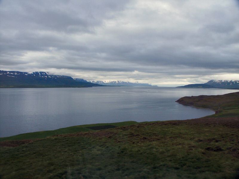
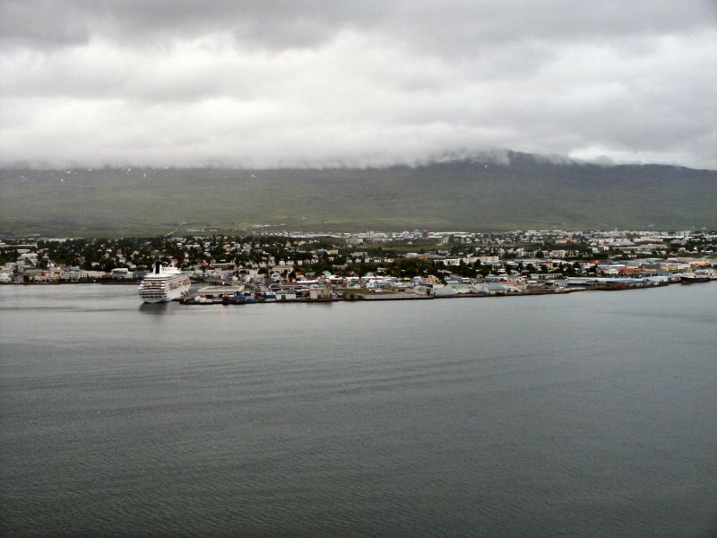
Akureryi may have only 14,000 residents, but it is still Iceland’s second city. It is on the Northern shore of Iceland and surrounded by snow-capped mountains, but although it is within a short distance of the Arctic Circle, it has a surprisingly mild climate. It is a convenient starting point to see some of Iceland's unique scenic and geographic attractions. Akureryi is situated at the end of Iceland's longest fjord.
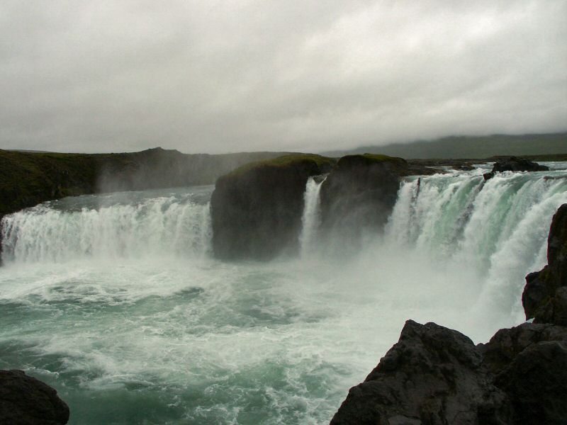
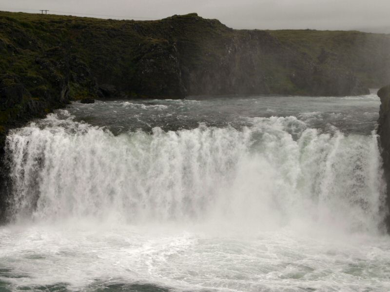
Godafoss is one of the most impressive waterfalls in Iceland. It is situated on the 175 km long glacial river Skjalfandafljot. According to the Saga of Christianity, the formerly pagan chieftain Thorgeir threw the wooden images of the pagan gods into the waterfall after Christianity had been accepted in the Parliamentary Plains in the year 1000. The name of the waterfall, The Waterfall of the Gods, is derived from this event.
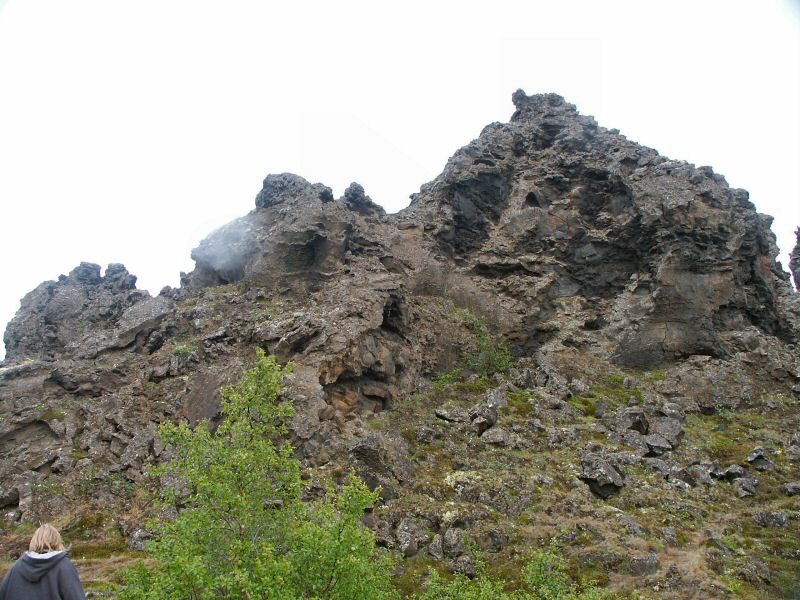
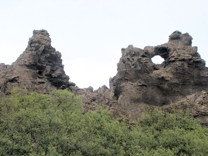
The following peculiar lava formations can be found around Skutustadagigar. They are parts of pseudo-craters, formed by steam explosions when burning lava encounters lakes or wetlands.
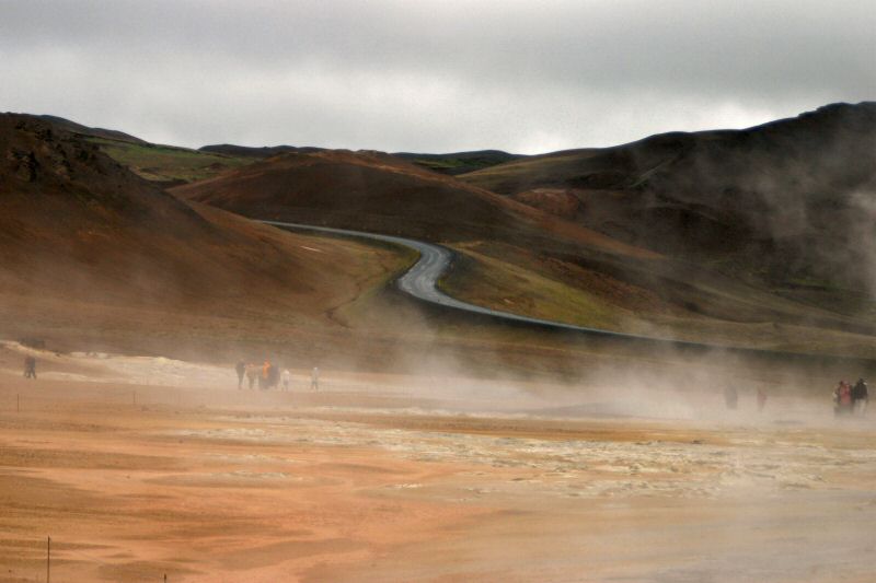
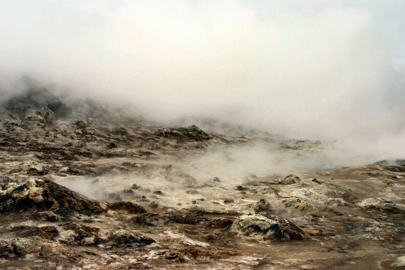
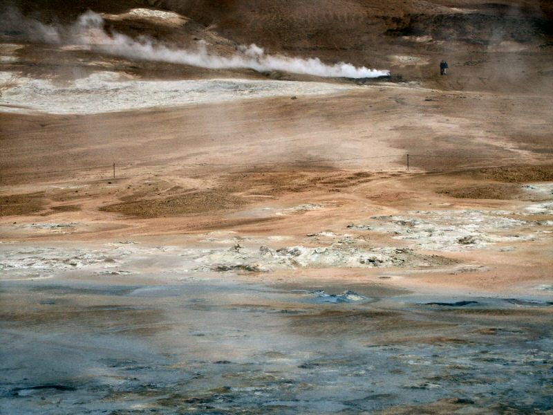
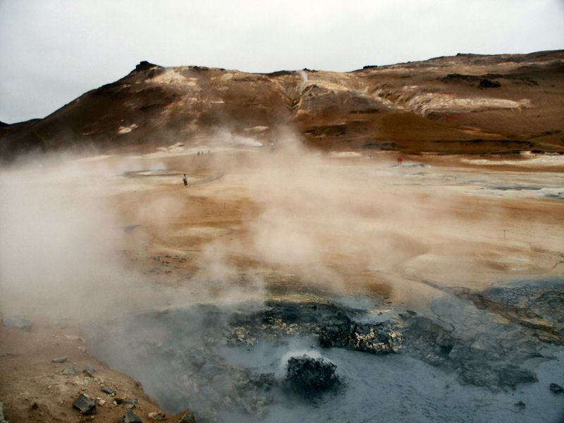
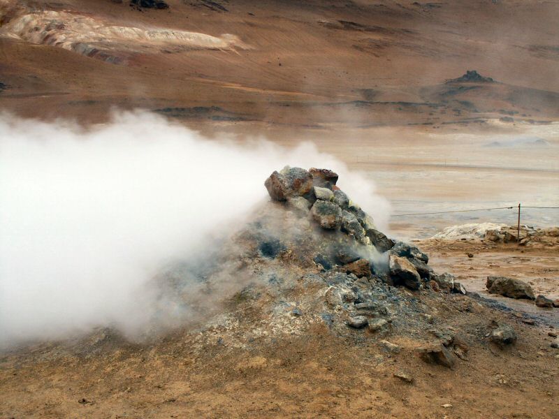
Hvevir is a high temperature geo-thermal area with fumaroles and mud-pots. At a depth of 1000m, the temperature is 200 centigrade. Along with the steam comes fumarole gas, which is mainly hydrogen sulphide - to put it in other words, this place provides an interesting challenge to your sense of smell.
|